Smarts Mountain (New Hampshire)

Kicking off hiking season with an adventurous trek up Smarts Mountain (April 2017)
With spring here and the weather warming up, it was only a matter of time before I hit I-95 and headed to New Hampshire to kick off the hiking season. The previous weekend, I took a short drive to the Blue Hills and trekked around a bit, but let's be honest. The Blue Hills can't compete with the White Mountains in New Hampshire especially when it comes to elevation and spectacular views.
I'm never too picky when it comes to selecting a hike. I just like doing ones that I haven't done already. If it has some type of cool feature (i.e. a waterfall, 360 degree view at the summit, etc.), even better. With that being said, I let Sarah pick our adventure for the day. She narrowed it down to three potential hikes before deciding on Webster-Jackson. However, after 30 minutes or so of driving and having taken a closer look at the hike, we decided to switch plans.
Webster-Jackson would have been a 14 mile hike and that seemed a little too ambitious for that particular day. Instead, we opted for Smarts Mountain, which is an 8.8 mile loop and part of the prized Appalachian Trail.
Lyme, New Hampshire
Getting to Lyme, New Hampshire ended up being an adventure itself. With a population of under 2,500 people, it’s one of the most rural areas I've ever visited. We passed a few farms and spent a significant amount of time driving over bumpy, dirt roads. Not to mention, we drove by a family that looked like they could star in a northeast version of Texas Chainsaw Massacre. Talk about creepy.
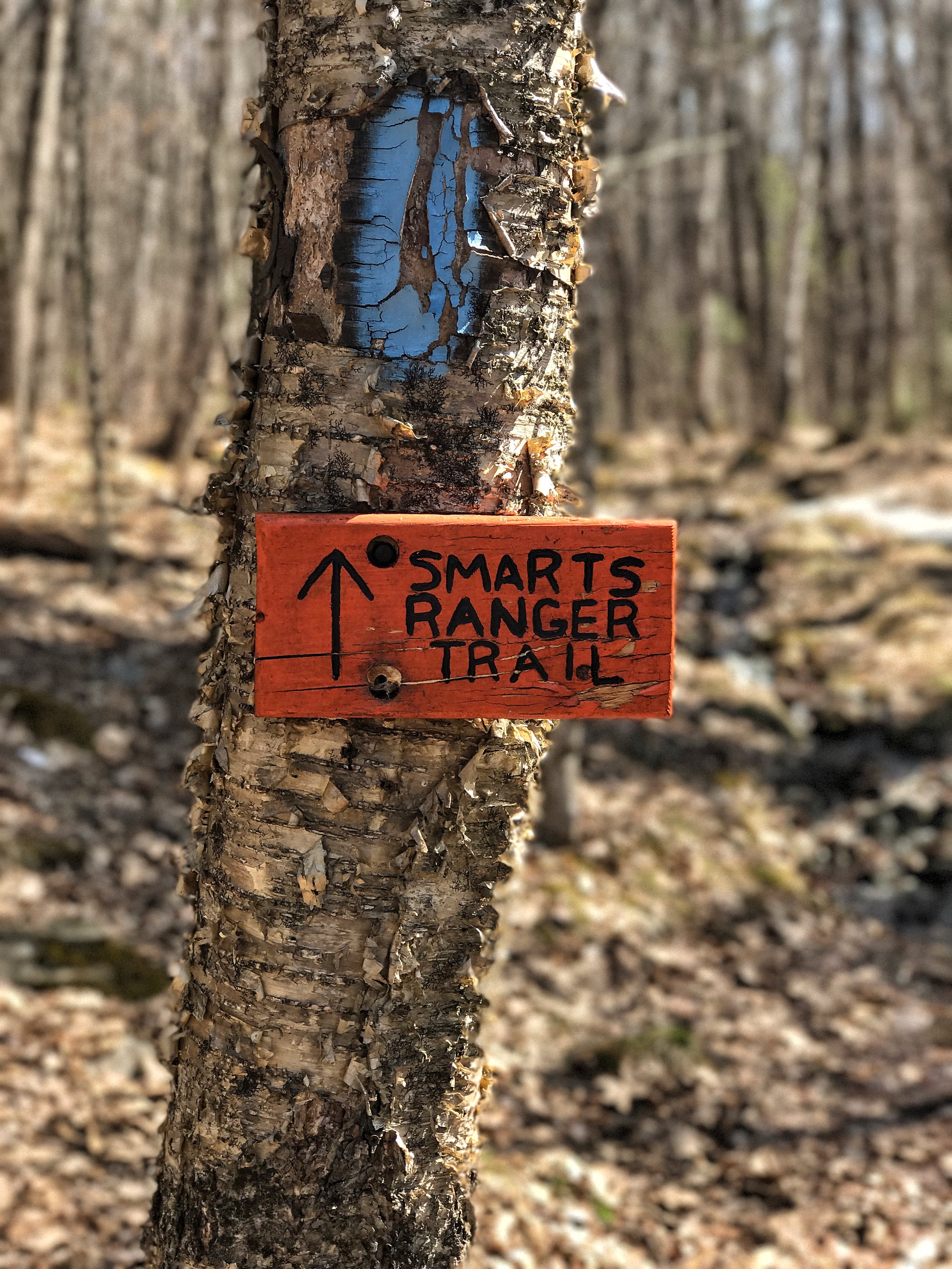
Ranger Trail
A little after 11:00am, we pulled into the parking area. When we arrived, there were only two or three other cars. After double checking the bag and making sure we had everything we needed, we started up the Ranger Trail, closely following a couple with a young baby who had arrived around the same time as us.

The beginning of the trail was similar to the beginning of most hiking trails in New Hampshire. It was relatively flat with tall trees to either side. After about 15 minutes of hiking, it became apparent that there was still a great deal of snow leftover from the winter. And when the ground wasn't covered in snow, it was complete mud. At first, we made an effort to avoid the mud but we soon realized that there wasn't much that we could do about it. We eventually passed the couple with the baby, making our way to a section of the trail that was completely covered in snow. Every time we took a step, we fell in and the snow came up to our shins. At this point, we couldn’t see any of the blue trail markers but decided that we were still on the right trail, so we kept going. We continued trudging through the snow and mud until we reached the garage and brook, two staples of this particular hike.

Where to next? Seeing the garage confirmed that we were on the right path, but there still weren't any trail markers to be found. We stopped and consulted the hiking map, but didn’t exactly align to our surroundings. According to the map, the trail was between the garage and the brook, but in reality, that just wasn't possible.

The only resemblance of a trail was across the brook, so we decided that we had to cross. Stepping on exposed rocks and leaping over running water, we crossed the stream safely. There was still no sign of any markers as we trekked through the snow and eventually, the trail no longer looked like a trail. In fact, it was as if we were walking through a river. We sat down, drank some Gatorade, enjoyed a cliff bar, and tried to figure out where to go next. We decided to go back to the garage to see if we possibly missed the right trail.
Back at the garage, we were still left with a lot of unanswered questions. Had we been on the right track and turned back too soon? Was the trail actually between the garage and the brook, but covered with snow and branches? Had we made a mistake earlier in the hike when we stopped seeing trail markers? We were left with only two options- to head back to the beginning of the trail or to cross the brook again, keep going, and potentially get lost. We decided that the former was the best option. Frustrated, we trekked back through the mud and the snow, and arriving back at the parking area around 2:35pm. Basically, we wasted three hours but if you know me, you know that there wasn’t any way I was going to jump back in the car without successfully completing this hike.
Lambert Ridge Trail
After a few minutes of resting, we started up the trail that was on the other side of parking lot. Sunset was at 7:30pm, so we decided that we had about five hours to make it to the summit and get back down before it was completely dark. With this that in mind, we picked up the pace. This trail was a lot different than the Ranger Trail. The ascent was steep from the get go. Having already hiked three or four miles already, it was a bit difficult, but we managed.

Unlike the Ranger Trail, the Lambert Ridge Trail presented several views very early on in the hike which gave us the motivation to keep going. At about 0.8 miles into the hike, we reached a lookout that offered views of surrounding mountains, including Mount Cardigan. Shortly after this, there was a cliff that definitely provided the best view of the entire hike.

We took photos and a break before heading into the col. The temperature inside the col was significantly different than out of it it had been on the cliff. It felt as if someone turned on the AC. We eventually passed a group of girls and one of them mentioned that it was very icy up top, which ended up being an underestimate understatement. We continued through the forest-like area, which dipped down for a while before eventually going back up. Around 2.8 miles in, the ascent to the summit of Smarts Mountain actually starts.

It was at this point where the ice started to play a major role in our climb. Sections of the trail were completely covered in ice. We latched onto trees for balance and went off the trail into the woods because it was nearly impossible to walk on the ice. There were a few occasions where Sarah suggested that we turn back. Not only was the ice getting worse, but the sun was starting to set. Regardless, we continued and eventually came to the crossing of the Lambert Ridge Trail and Ranger Trail. From here, it was another 0.4 miles of trekking through ice.
Fire Tower

At around 5:20pm, the trail started to even out and we reached the summit, which was completely covered by trees. We made our way to a campsite and saw the fire tower a few feet away.

Standing 41 feet, the tower offers panoramic views. It’s somewhat breathtaking. Through the window panes, you can see Mount Cube, Mount Moosilauke, and the Sandwich Range. Because it was 5:35 and sunset was less than 2 hours away, we took a few photos and headed back down.

Despite having directional trouble on the Ranger Trail earlier, we felt it was the best route to take down for two reasons. First, it was 0.4 miles shorter than the Lambert Ridge Trail. Secondly, we hoped that it would be significantly less icy. Unfortunately, there was no getting away from the ice. A good portion of the descent consisted of us Sarah and I sliding off of the trail and hanging on to the trees for balance. Even with that, it was quite difficult making it down the mountain. We both slipped and fell a couple of times, including one time when I fell off into woods and thought I was going to tumble down the mountain. I had just enough of the ice and on a few occasions just slid down the trail on my butt. After a while, the ice trail turned into a stream.
As the descent become flatter and we came to a water crossing, the area looked familiar. I was sure that this was where we stopped and turned back earlier in the day when we tried to come up via the Ranger Trail. We continued for 50 yards and saw our foot prints, confirming that this was exactly where we were previously had turned around earlier in the day. We crossed the brook, passed the garage, and once again, trekked through a combination of mud and snow. After another two hours or so, with the sun down, and wet feet, we finally made it back to the parking lot.
For more, follow me on Instagram at @LindseyGamble_ and @TravelWithGamble.